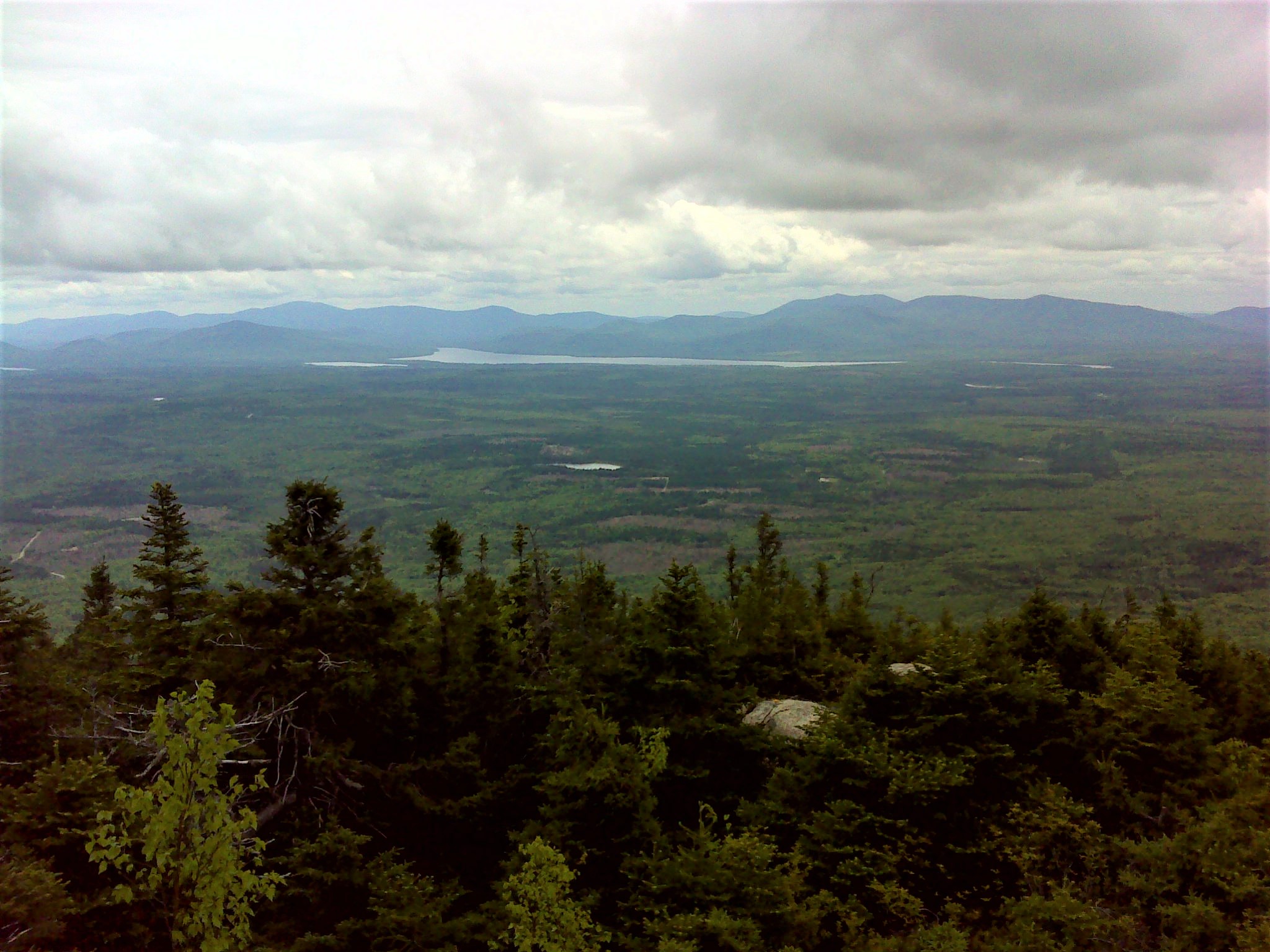
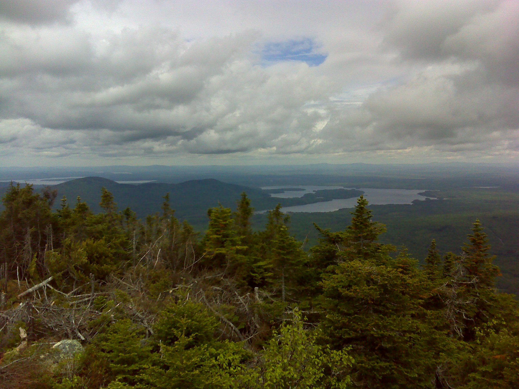
Big Spencer Mountain from Number Four Mountain
Big and Little Spencer Mountains dominate the land east of the north end of Moosehead Lake. Together, they’re known as the Kettle Mountains. The trail up Big Spencer climbs steeply up the east face of the mountain to the summit at the east end of the long, untrailed summit ridge. (Someone needs to build a trail across Big Spencer to the summit of Little Spencer.)
The east end of Big Spencer from the road to the trailhead
To get to the trailhead, head north out of Greenville. Drive 19 miles from the blinking light in town to Kakadjo. Where the pavement ends bear left and continue for another 7.2 miles. Just past a narrow bridge, turn left. There is a sign for Big Spencer at the turn. Drive another 6.1 miles to the trailhead on the left. The logging road to the trailhead is very rough and bumpy. I’ve done it with a Honda CRV, but don’t recommend driving this road with a low clearance car. The access road is a great place to see moose, butterflies, bears, and other wildlife.
The trail begins as an old road (that was used by the fire warden to reach his cabin). It climbs steadily to a flat shoulder on the mountain. The firewarden’s cabin used to be here, but it was removed a few years ago. Now there’s a privy and campsite. You have a good view east to the mountains in Baxter State Park—a preview of the view from the summit.
The trail crosses a beaver-flooded stream and begins to climb in earnest. The trail is rocky with several ledges to ascend. There are ladders to aid in climbing the highest ledges. Most are kinda loose but safe.
One of the ladders on a foggy day
As you near the summit, the trail levels out and crosses another shoulder covered with densely packed spruce. The final climb to the summit is over rounded bedrock. There are ladders here, too. This is the wildest section of the hike.
The summit, on the other hand is far from wild. There’s a large wooden platform and several towers. In 2012, the crew building the newest of the towers started a fire that burned part of the summit and south slope. Don’t let the clutter on top discourage you, though. The 360 degree view is spectacular. You can see mountains all the way from The Bigelows to Katahdin. In between are numerous lakes shining in the endless north woods.
Moose Mountain across Moosehead Lake from the summit
Katahdin and its neighbors from the summit
Lobster Lake from the summit
The round trip hike is about four miles. For more information see my Best Easy Day Hikes Greenville.


